
Welcome to the Ocean Dredged Material Disposal Site Database
The U.S. Army Corps of Engineers (USACE) dredging program plans, designs, constructs, operates, and maintains riverine, estuarine, and coastal channels to meet navigation needs. An important goal of the program is to provide safe passage in navigation channels for vessels, but the inflow of sediments causes many channels to shoal. Therefore, annually over 200 million cubic yards of material is dredged from the bottom of federally constructed and maintained navigation channels. Dredged material consists of sediment in the form of gravel, sand, silt, clay, and organic matter, but is most commonly some mixture of these. The largest portion, approximately 70 million cubic yards, is removed from the Gulf coast, and the rest is dredged along the Atlantic and Pacific coasts and the Great Lakes. Sediment is disposed in upland disposal facilities, aquatic disposal sites, or returned to the environment through beneficial uses to deliver environmental, economic, and social benefits. A portion of this dredged material is also transported and disposed in designated ocean dredged material disposal sites (ODMDS) which are commonly located offshore of major harbors and ports nationwide.
The U.S. Environmental Protection Agency (USEPA) is responsible for designating and managing ODMDSs under the Marine Protection, Research and Sanctuaries Act (MPRSA). The USACE is required to use the designated ODMDSs for disposal of dredged sediment to the maximum extent feasible. Where use of a USEPA-designated site is not feasible, the USACE may, with concurrence of USEPA, select an alternative site in accordance with MPRSA. The transportation of dredged material for the purpose of disposal into ocean waters is permitted by the USACE or, in the case of federal projects, authorized for disposal under MPRSA. The USACE follows a rigorous evaluation process established by the USEPA for determining if dredged material is suitable for ocean disposal or requires special handling.
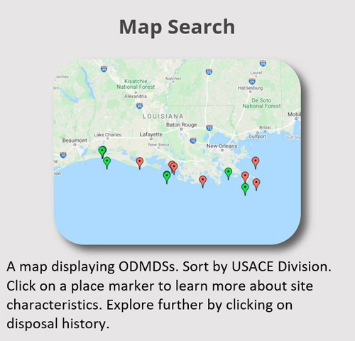
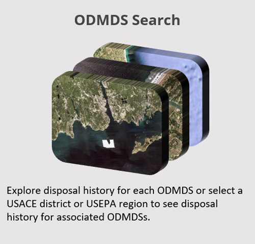
The ODMDS database is a publicly available database providing information about the disposal history of dredged material at ocean sites in the United States and its territories as well as ocean site characteristics for over 100 designated (open), dedesignated (closed), and inactive (temporarily not used) ocean sites with interim or final designation status.
Get Started

Download ODMDS spreadsheet
Download the ODMDS data set as an Excel spreadsheet. (click here to download)
Updated October 2022
| Dredge disposal events | ODMDSs |
|---|---|
| 3,721 | 152 |
| First year | Last year |
| 1976 | 2021 |
*Disposal data from the previous calendar year is updated in the current calendar year.
Participants
U.S. Army Corps of Engineers | U.S. Environmental Protection Agency | International Maritime Organization
Suggested Citation Format
Ocean Disposal Database. (Year). Environmental Laboratory, U.S. Army Engineer Research and Development Center. Retrieved (Month, day, Year) from http://odd.el.erdc.dren.mil/.